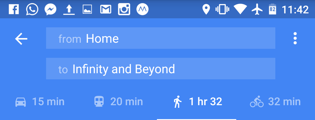
To travel is to move from one place to another, and when faced with getting from point A to point B, Kait and I do what most people do these days… we use Google Maps.
People move around in different ways, and when it comes to travelling, how you move around can really define what type of traveller you are, and what your “style” of travel is. When travelling long distances from one city to another (or one continent to another), you can go by plane, boat, train, or automobile (or Hyperloop in a decade?). What I’m talking about now though is at a smaller scale. How do you get around once you’re at your “destination”? What’s your preferred mode of travel?
- Private tours with drivers
- Tour groups on highway coaches
- Renting or driving your own car around
- Taxis/Uber
- Public Transit
- Hitch-hiking
- Cycling
- Walking
Chances are you use some combination of the above, but what your preferences are and the distribution of your usage define your travel style.
So far on this trip (and in general when we travel), our choices are really defined by the directions provided by Google Maps: Drive, Transit, (Cycle) or Walk.
Driving
Without a car, driving for us basically means taking a taxi. Driving almost always provides the fastest option, but it’s also the most costly. When we travel, we usually take it easy and try not to make ourselves feel rushed. So driving is usually the first option to get eliminated.
Taking Pubic Transit
Most transit options that Google Maps covers are either buses or rapid transit (e.g. Subways, Metros, etc). For me, they couldn’t be more different. I love rapid transit but despise buses. Either way, transit is more cost effective than driving, and is our top choice when we need to travel longer distances. I love seeing and using the rapid transit systems around the world. It’s one of my favourite things about a city. They’re a great way to see (creep on) locals out and about, they don’t make me car sick like (stupid) buses, and they’re efficient at moving lots of people in densely populated areas. If it takes us longer than a hour to walk (yes, an hour… even if it’s uphill to the mid-levels in HK with luggage), then we’ll probably take transit.
Walking
My favourite mode of travelling around town is walking. You get a real feel for a city when you’re walking. You see the streets, you see the people, you experience the climate (good or bad), and you have every opportunity to stop and smell the roses. When you walk, you can go off the beaten path. When you walk, you get to experience the wonders of bipedal gait. You never stumble across a great discovery when you take a cab, and the areas surrounding transit hubs rarely offer any treasures, but when you walk, you open yourself up to the unexpected and to unique discoveries. Most of my favourite memories (and meals) when travelling have been because I walked. Although a personal choice, I highly recommend walking as much as you can when you travel.
Fitbit (the authority on this apparently when I did a Google search) recommends 10,000 steps a day. That’s a pretty difficult goal if you drive to work at a 9-5 and don’t do anything active in the evenings. That’s not a very difficult benchmark to reach if your travelling and your primary mode of transportation is walking. With that in mind, Kait and I set a goal of trying to reach 20,000 steps a day. She’s been including our step counts in her daily posts, and we’ll look at sharing more (like distances and maps) in the future.

